


Our Services
At DroneScape, we deliver high-quality aerial solutions designed to capture, analyze, and elevate your perspective. Using advanced drone technology, we provide precise data, stunning visuals, and efficient inspection capabilities tailored to residential, commercial, and industrial needs. Whether you’re looking to assess property conditions, visualize a project, or create compelling media, we can take care of it.

Damage Surveys
High-resolution aerial inspections Ideal for assessing storm impact, insurance claims, construction issues, and hard-to-reach areas safely and efficiently.
3D mapping
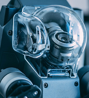
Comprehensive mapping that produces a full 3D visual model of your building. Perfect for planning, documentation, virtual walkthroughs, and monitoring changes over time with precise, data-rich imagery.

Thermal Imagery
Our thermal imaging detects heat loss, moisture intrusion, and hidden faults, while also enabling efficient wildlife and animal surveys, even in low light or dense terrain. Ideal for inspections, land management, and energy assessments.

Cinematic Aerials
Smooth, high-quality drone footage designed to elevate your visual storytelling. Ideal for marketing, events, real estate, or promotional content that requires dramatic, cinematic aerial perspectives.